-

- Landscape photogrammetry solid model. Metashape.

-

- Landscape photogrammetry confidence model. Metashape.

-

- Landscape photogrammetry shaded high resolution model. Metashape.

Results:
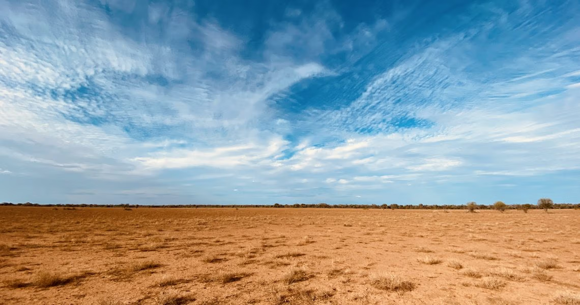
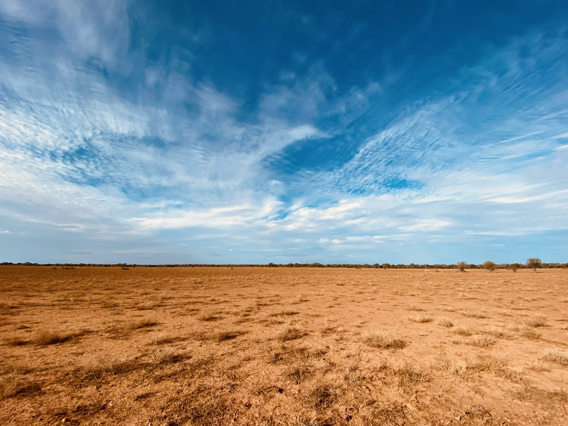
The photogrammetry survey conducted over various sections of Brumby Yards captured roughly 10 hectares of landscape. The images will be used to construct three-dimensional (3D) models of the quarry areas. These models can assist scientists and archaeologists, both current and future, find answers to their questions about the various production methods that were employed and further aid in connecting this place with the wider landscape.
Photogrammetry in archaeology is a valuable technique known for its precise 3D reconstruction capabilities. It offers accurate representations of artefacts and archaeological sites, aiding in detailed analysis without physical contact, thus preserving the integrity of historical finds. Moreover, photogrammetry is cost-effective and efficient compared to traditional methods, making it an attractive choice for archaeologists. Additionally, it supports remote sensing, enabling the documentation and analysis of sites from a distance, which reduces the risk of site damage during fieldwork. The 3D models produced through photogrammetry have significant archival value, serving as valuable digital records for future research, as well as a means for engaging the public with immersive visualisations of archaeological discoveries.
By building 3D models of the landscape, we can engage with and visualise this part of Country in different and unique ways and perhaps gain additional insights into what the Ancestral Peoples of this place were thinking when they interfaced with these landscapes.

About Us
Up & Under provides Digital Archaeology services to Archaeology Consultants – we are a digital support consultancy.
We offer a range of advanced digital modelling and analysis services that include GIS, landscape imaging and mapping, LiDAR imaging including aerial and terrestrial (TLS), remote sensing services. Depending on the needs, we speak archaeology!
LiDAR vs Photogrammetry in Archaeology: A Technical Comparison for Heritage Mapping