Non-Invasive Subsurface Exploration
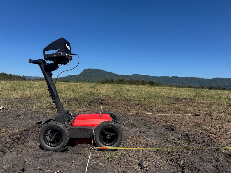
Ground Penetrating Radar allows archaeologists to explore the subsurface without the need for excavation. By sending electromagnetic pulses into the ground and measuring their reflections, GPR provides a non-destructive means of investigating buried structures, artefacts, and geological features.
High-Resolution Imaging
GPR produces high-resolution images of the subsurface, offering detailed insights into the composition and arrangement of archaeological features. The clarity of these images enables researchers to distinguish between different materials, making it an invaluable tool for identifying structures, pathways, and even organic remains.
Rapid Data Collection
GPR facilitates rapid data collection over large areas. Its efficiency in surveying makes it a time-effective solution for archaeological projects, allowing researchers to cover extensive ground and obtain comprehensive subsurface information in a relatively short timeframe.
Identification of Anomalies and Features

Ground penetrating radar Depth slice (profile view) showing the domed roof of a large subterranean crypt in an historic cemetery. By Tapatio. Wikimedia Commons.
GPR excels in detecting subsurface anomalies and features that may go unnoticed through traditional surveying methods. Whether it’s buried walls, foundations, or artefacts, GPR can reveal hidden structures and provide archaeologists with critical information for site interpretation
Mapping Geological Stratigraphy
Understanding the geological stratigraphy of an archaeological site is vital for contextualising findings. GPR aids in mapping subsurface layers and stratigraphy, allowing researchers to reconstruct the historical landscape and identify periods of human activity through changes in soil composition.
Environmental and Preservation Applications
GPR is not limited to archaeological investigations alone. It finds applications in environmental studies, helping researchers assess soil conditions, water tables, and potential environmental impacts on archaeological sites. Additionally, its non-invasive nature aligns with preservation efforts, minimizing disturbance to fragile historical remains.
Integration with Other Technologies
GPR seamlessly integrates with other archaeological technologies, such as Geographic Information Systems (GIS) and 3D modelling tools. This interoperability enhances the overall analytical capabilities, enabling researchers to combine data from various sources for a more comprehensive understanding of archaeological landscapes.

Ground Penetrating Radar stands as a beacon of innovation in archaeology, offering a glimpse into the hidden realms beneath our feet. As we embrace this non-invasive technology, we not only uncover buried treasures but also contribute to the preservation and nuanced understanding of our shared cultural heritage. Embark on a journey of discovery with GPR, where every scan reveals a new layer of the ancient narrative waiting to be unearthed.